SOLUTIONS FOR IMPACT.


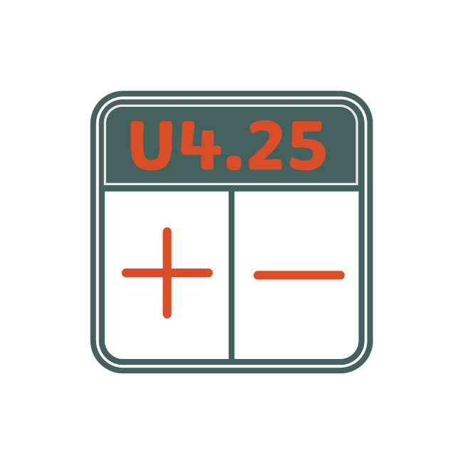
BALLISTICS CALCULATOR
GeoBallistics® is powered by an advanced 3DOF solver and includes a continuously updated bullet library. We offer four operating modes (HUD, Map, Chart, and Comp) designed to allow users to leverage unique, mission-specific features.

BLUETOOTH ATMOSPHERICS
Capture on-site weather and wind with WeatherFlow® and Kestrel® devices. Both connect via Bluetooth® and are compatible with GeoBallistics®, giving you accurate on-site atmospherics and density altitude calculations.

GPS RANGEFINDER
Map Mode uses your phone's built-in GPS to determine accurate ranges and is available to use FREE with one custom rifle in GeoBallistics®. Use this feature to range targets, build range cards, and create quick ballistic solutions.
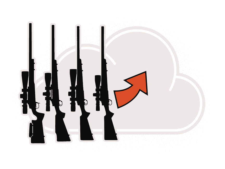
SYNC YOUR RIFLE DATA
IN THE CLOUD
GeoBallistics.com is the only platform that allows you to sync rifles and range cards in the cloud, giving you access regardless of the device you're using.